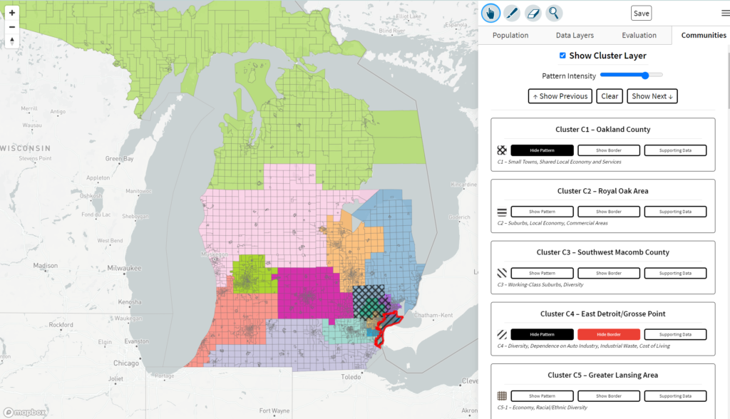
Michiganders can now view and comment on the commission’s proposed collaborative draft maps via the public comment portal. By selecting Draft Plans, residents can view the 3 State House, 3 State Senate, and 4 Congressional district maps either through the portal website or through the online mapping software, Districtr.
Through Districtr, viewers can also view population demographics and overlay COI clusters on the current draft plans. By viewing COI clusters over the current plans, maps can also be evaluated by how they protect COI boundaries.

